A tour of Wellington suburbs
Summary
As any runner in Wellington would know, every now and then we have to battle the fierce wind that blows through the capital. Be it a cold southerly or a northerly, if you are a bit crafty, you can avoid the wind somewhat and get still a scenic loop, running through a few suburbs.
The particular route we are about to go on starts from under the sails in Queens Wharf and takes on the neighbourhoods of Thorndon, Wadestown, Kelburn Village and Aro Valley. This is a somewhat hilly yet completely achievable run, and with the many opportunities to cut it short and opt for cake and coffee or beer, it is a good route both for a midweek jog or a weekend workout.
- Wadestown takes its name from the settler John Wade, who arrived in Wellington in 1840 on a vessel called “Integrity”. The following year, he acquired land in the area now known as Wadestown town together with James Watt. Today road names in the suburb, Wade Street and Watt Street, remind us of the early settlers.
- Fort Buckley is one of the most significant places of historic interest in Wadestown. On the top of a steep hill in Banard Street, the fort overlooks Wellington harbour. It was built in 1885 in response to concerns that Russia was gearing up to expand its empire in the South Pacific.
- Another historic building in Wadestown can be found at 4 Goldies Brae. Due to its crescent-shaped layout it is popularly known as the “Banana House”.
- Otari Native Botanic Garden and Wilton’s Bush Reserve (Otari-Wilton Bush) is the only public botanic garden in New Zealand dedicated solely to New Zealand native plants. Consisting of 100 hectares of native forest, and five hectares of plant collections, it is home to some of Wellington’s oldest trees.
Distance: Roughly about 14kms with options to shorten and come back to the City via the Botanic Garden to get approximately 10kms
Elevation: 250 meters up and the same down
Difficulty: Easy or moderate if you are not used to some uphill running
Estimated time: 60 minutes at faster pace, 80 to 90+ minutes at easy pace
Download .gpx
Description
Start and end points: You start and finish this run under the Queens Wharf sails.
Directions: Starting from under the Queens Wharf sails head along the waterfront towards the Wellington Railway station. After passing the historic Shed 21 (red brick building), cross the road next to the railway station and go under the pedestrian passageway to get to Mulgrave Street. You will pass the Beehive, the Parliament buildings, the NZ Archives and head up to Thorndon via Hill Street. Cross the overbridge and turn right into Tinakori Road then left to Park Street and then right again to Grant Road. Follow the signs to Wadestown. You will run along Grant Road which turns into Barnard Street, Lennel Road and, eventually, Wadestown Road. While you are climbing up, have a look out towards the city for some views across the harbour and the stadium.

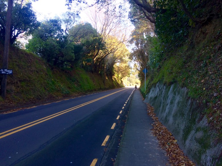
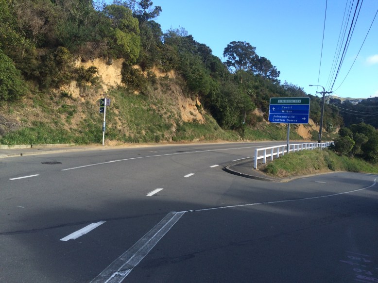
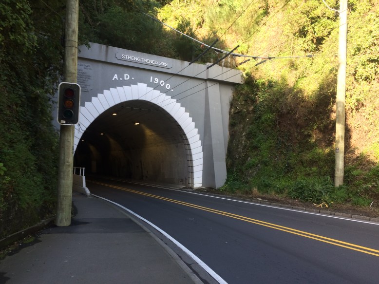
At Wadestown village the road stats going slightly downhill. As you pass Wadestown take Wilton Road on the left hand side. You will run past Otari-Wilton Bush and head towards Karori. Wilton Road becomes Curtis Street after a roundabout, where you follow the sign to Karori and you will come to the intersection at Raroa Crescent and Chaytor Street. Cross here with care and head towards Zealandia on Chaytor Street. Cross the road at the Karori tunnel lights and go on towards Kelburn village via Glenmore Street and then Upland Road.
Before the Kelburn Village shops turn right into Plunket Street and head down to Aro Valley. Take Raroa Road towards the left, and continue to Aro Street. As you run through Aro Valley you can opt to stop for a quick Beer tasting at Garage Project (if time permits) or a coffee and cake at Aro café. Once you reach the end of Aro Street, you will arrive at Willis Street. From here pick your favourite route to the waterfront. In order to stretch the loop as much as possible, head past the National War Memorial towards Cambridge Terrace and then follow all the way down to Oriental Parade, turning left to Waitangi Park. Now all you have to do is run along the waterfront back to Queens Wharf. You would have completed 14 kms or so and gone through some of Wellington’s funkiest suburbs.
Facilities
- There are toilets and water taps near Queens Wharf, the Railway Station, Otari-Wilton Bush and Waitangi Park.
- If you decide to make a stop en route, good options for coffee are the Wadestown Kitchen on the corner of Weld Street, the Kelburn Café or Aro Café on Aro Street.
- At Queens Wharf you have plenty of options for an after-run coffee, Chan’s pick is Cuckoo.
Transport
You can easily join this route from the CBD or the suburbs on the way.
Further options
This run can be easily modified to you taste. The most likely option to add some mileage is extending the route all the way out towards Mount Victoria and Bays.